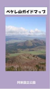
Mt. Pekere Trail
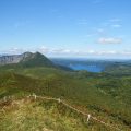
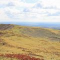
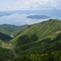
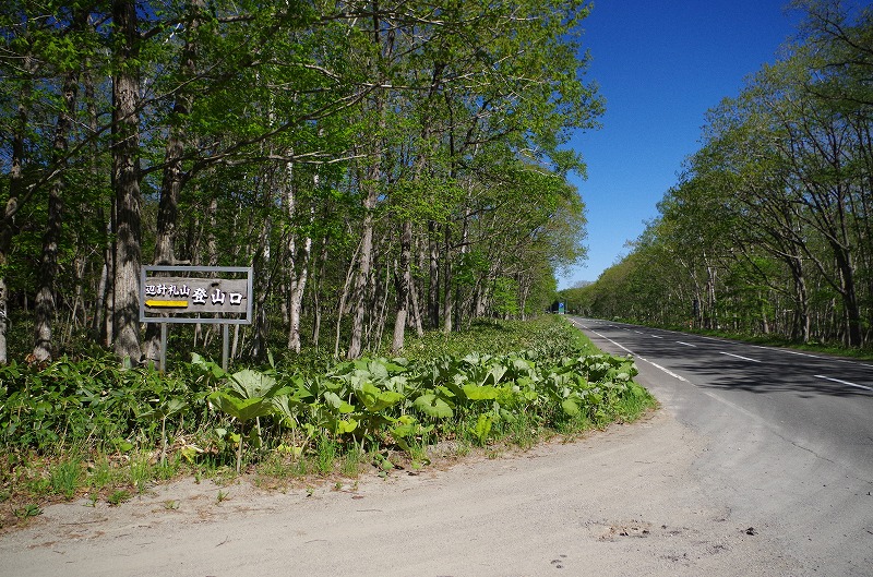
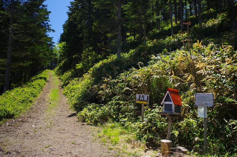
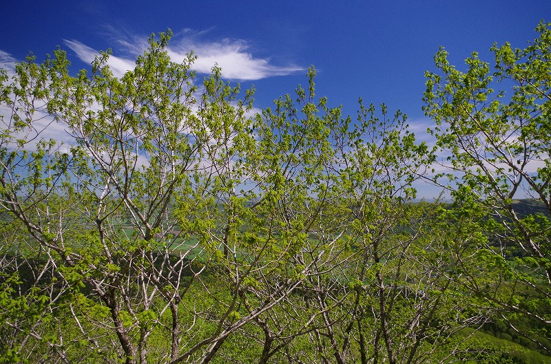
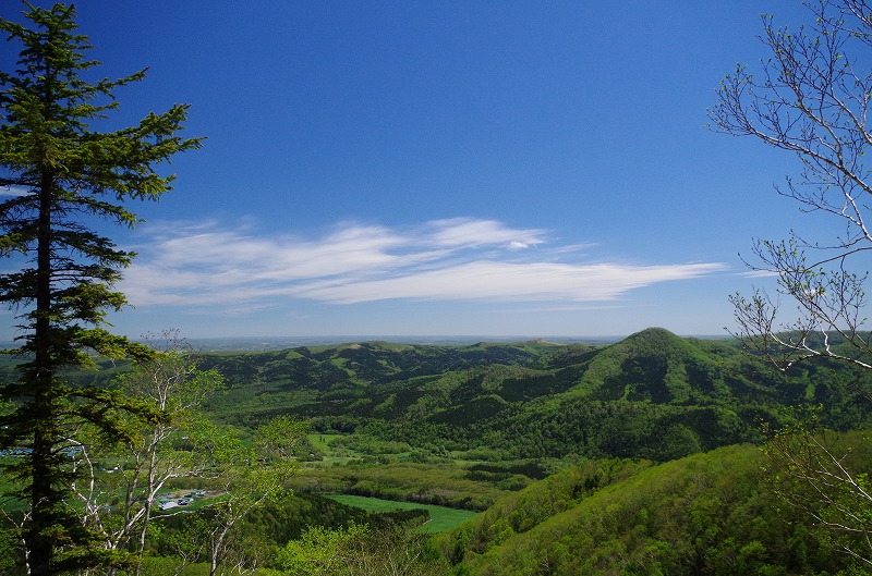
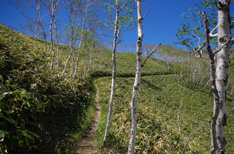
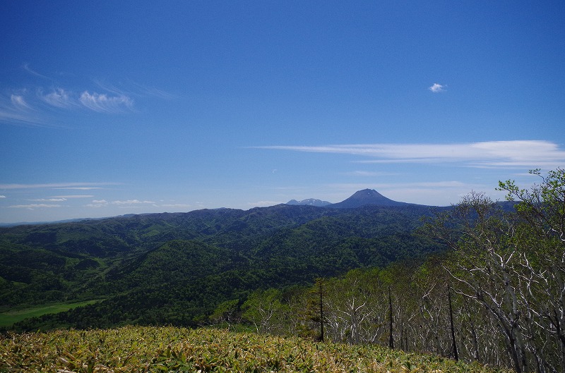
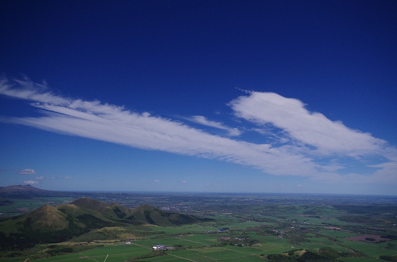
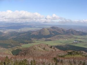 You can arrive summit in 1 hour, and see Kussharo Caldera, Mashu Caldera, Senkon Field, Mt. Meakan, Mt. Oakan, and Eastern Hokkaido-like panorama view. Access from Akan Crossing road between Teshikaga and Akan. There is a small sign of Mt. Pekere. Open and close dear gate and go straight on mountain road. You will find the entrance of Mt. Pekere. After start walking in 10 minutes, you will be in Sakhalin spruce and Todo fir forest. You will then walk in the Larch on the steep trail. After keep walking, you will see many trees like Erman’s birch and Japanese oak. Close to the summit, scenery becomes beautiful between the trees.
Self Guide Map Outside(pdf)
Self Guide Map Inside(pdf)
Oneway About2.5㎞
Course time uphill about 1hour30minutes downhill about 1hour
Mt. Pekere Summit 732m
Vertical dorp about about 482m
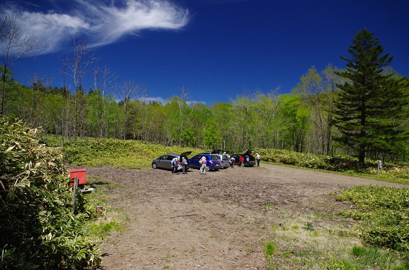
*Moutain road towards entrance is closed from April to May. Please contact Ministry of Agriculture, Forestry and Fisheries
Characteristics of Mt. Pekere
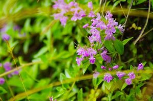 Old Deposited strata is distributed around Mt. Pekere. soft stratum was eroded in long time by the river, and area becomes lowland. Hard stratum was not eroded and area become highland such as Mt. Shikerebe, Mt. Birao and Mt. Pekere were formed. Mt Pekere was called Pekere-Ewa meaning bright highland in Ainu. It was also said that strong poisonous Torikabuto grew. Alpine plants are distributed however, Sasa covers the forest groung and not becomes big community.
About Climbing
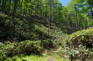 Sasa grows along the trail and so many ticks lives. It is recommended to wear long sleeves shirt, long pants and hut. Also, there is no toilet near the entrance because this is a mountain not many people climb. Please take a portable toilet with you. Finally, you may have a chance to encounter brown bear. Prepare not to see them and enjoy climbing.
Photo Gallery
Access
Access(Airport, JR & Bus)
From Kawayu Eco-Museum Center
Kawayu Eco-Museum Center ⇒ Akan Bus(About 10minutes) ⇒ JR Kawayu Onsen Station ⇒ JR Senmou Line(About 15minutes) ⇒ JR Mashu Station
From Kushiro/Kushiro Airport
Kushiro Airport ⇒ Kushiro Airport Shuttle Bus(About 45minutes) ⇒ JR Kushiro Station ⇒ JR Senmou Line(About 1hour40minutes) ⇒ JR Mashu Staiton
From Abashiri/Memanbetsu Airport
Memanbetsu Airport ⇒ Memanbetsu Airport Shuttle Bus(About 30minutes) ⇒ JR Abashiri Station ⇒ JR Senmou Line(About 45minutes) ⇒ JR Shiretoko Shari Station ⇒ JR Senmou Line(About 45minutes) ⇒ JR Mashu Station
From Nakashibetsu Airport
Nakashibetsu Airport ⇒ Nakashibetsu Airport Shuttle Bus(About 30minutes) ⇒ Nakashibetsu Bus Terminal ⇒ Akan Bus(about 1hour 30minutes) ⇒ JR Shibecha Station ⇒ JR Senmou Line(About 30minutes) ⇒ JR Mashu Station
*No Public transportation to the entrance of Mt. Pekere Trail. Please use taxi from JR Mashu station. JR Mashu Station is the nearest Station, but Taxi is not always waiting due to small station. Please book the guide tour or taxi before you come.
Access (by car)
MAPCODE
731 223 033
From Kawayu Eco-Museum Center
Kawayu Eco-Museum Center ⇒ 391Line・241Line・Mountain Road(About 50minutes) ⇒ entrance of Mt. Pekere
From Kushiro/Kushiro Airport
Kushiro City ⇒ 53Line・241Line・Mountain Road(About 2hour20minutes) ⇒ entrance of Mt. Pekere
Kushiro Airport ⇒ 240Line・241Line・Mountain Road(About 1hour45minutes) ⇒ entrance of Mt. Pekere
From Abashiri/Memanbetsu Airport
Abashiri City ⇒ 244Line・391Line・241Line・Mountain Road(About 2hours) ⇒ entrance of Mt. Pekere
Memanbetsu Airport ⇒ 39Line・243Line・241Line・Mountain Road(About 1hour40minutes) ⇒ entrance of Mt. Pekere
From Nakashibetsu Airport
Nakashibetsu Airport ⇒ 13Line・243Line・241Line・Mountain Road(About 1hour 30minutes) ⇒ entrance of Mt. Pekere